Language of the field
A glossary for water, meadow and dike
These terms appear on signs, maps and in the chapters. They are working words, not poetry.
Dike / Deich
An earth bank that keeps flood water in its room. The crown is the path. In this notebook it is the main walking and cycling line around Steinhuder Meer and Dümmer See.
Reed belt
A fringe of Phragmites and similar plants in shallow water. Habitat, not a garden. Crossing it off-path disturbs nests and is usually forbidden.
Flood meadow
Grassland designed to flood. Green in May, sometimes underwater in winter. The Weser version is described in the floodplain chapter.
Oak island
A woodland block surrounded by open land rather than by a sea of trees. See Rehburg-Loccum.
Hide
A small shelter with slits or windows for watching birds without silhouetting yourself on the skyline. Etiquette in the season notes.
Regional train
Nahverkehr services that put Wunstorf, Nienburg and Diepholz on a usable clock. Part of the method, not a last resort. Timetables belong beside the route table.
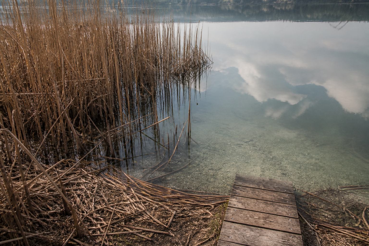
Boardwalk
Wooden planks over wet ground. Stay on them. They exist because the soil is a habitat, not because they are decorative.
Shallows / Flachwasser
The pale aqua zone where reed, mud and sky mix. Primary feeding ground for waders and the reason you do not splash through “empty” water.
Weser path
The signed cycle line along the river. Combine with trains for one-way days in the five-day itinerary.
Lake travel versus river travel
| Need | Lake (Steinhuder / Dümmer) | River (Weser) |
|---|---|---|
| Shape of the day | Closed loop on a dike | One-way corridor plus train |
| Main weather | Wind over open water | Valley breeze, sudden rain |
| Wildlife emphasis | Flocks, reed, migration | Heron, kingfisher, meadow birds |
| Typical mistake | Leaving the path for a “better shore” | Walking the flooded grass instead of the dike |
Use this table when choosing between a lake Saturday and a river Sunday. The chapters on water, dikes and woods are the long versions; the glossary is the pocket version.
A few more working words
Nature park (Naturpark) in this region is not a fenced zoo. It is a large working landscape with farming, villages and marked paths. Rules tighten at the waterline: dogs, drones and off-path walking are the usual limits. A breeding closure is seasonal, posted, and more important than a GPS track you downloaded in winter.
Oxbow and side ditch are river vocabulary. They hold still water beside the Weser even when the main current is busy. Herons use them; you photograph them from the dike. Peat and sand ridges explain why Mardorf feels different from Steinhude: the same lake, a different shore geology, a different plant mix under the tyre.
Nahverkehr is the everyday rail and bus web. It is slower than a car on a dry Sunday and faster than a car when the dike car park is full. Pair it with the Lake Loop or a one-way Weser stage and the country becomes readable without a ring of asphalt. If a sign uses both German and a pictogram of binoculars, that is a hide or viewpoint, not an invitation to leave the engineered line.
Return to the notebook
The hub gathers the routes; the terms keep you from walking into the wrong kind of water.
Back to the hub